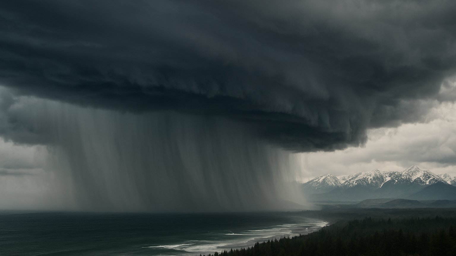
A powerful corridor of Pacific moisture is affecting the U.S. West Coast on November 15. The Center for Western Weather and Water Extremes, or CW3E, identifies the system as an AR4 atmospheric river impacting Oregon. The moisture plume is part of a broader Pacific storm track affecting the Pacific Northwest and extending toward northern California, where it is associated with widespread rain and snow at higher elevations.
A river in the sky over the West Coast
Atmospheric rivers are narrow, moisture-rich air currents that transport large quantities of water vapor through the atmosphere. Despite their name, they are not rivers of liquid water suspended above the ground. The comparison describes the concentrated shape and movement of the moisture corridor, which can stretch across a large part of the Pacific before reaching the coast.
This event is affecting Oregon and the broader Pacific Northwest, with the moisture plume extending toward northern California. CW3E classifies the atmospheric river as AR4, placing it within a strong category on the atmospheric-river scale used to describe the intensity of these systems. The classification helps communicate that the event is more than a weak, scattered pulse of moisture, while not by itself describing every local impact.
Why the moisture produces rain and snow
As an atmospheric river reaches the West Coast, its moist air encounters the region’s terrain. Air forced upward over mountains cools as it rises. Cooling encourages water vapor to condense into cloud droplets and precipitation, producing rain in lower and moderate elevations. Where temperatures are cold enough, the precipitation falls as snow, especially at higher elevations.
The National Weather Service describes widespread rain and high-elevation snow associated with this moisture plume. The exact form and intensity of precipitation can vary with elevation and local conditions, but the broad pattern is clear: the same Pacific moisture delivery can bring rain to some areas while adding snow to mountain terrain.
Satellite imagery and moisture-plume visualizations are particularly useful for understanding this type of event. They show how a comparatively narrow band of atmospheric moisture connects the Pacific storm track with the West Coast, making the structure of the system easier to recognize than it would be from ground observations alone.
Water benefits and weather hazards
Atmospheric rivers can have two very different sides. The precipitation they deliver can benefit water supplies, especially when mountain snow accumulates and later contributes to runoff. In regions that depend on precipitation from Pacific storms, these moisture corridors can therefore play an important role in the water cycle.
At the same time, a strong atmospheric river can produce heavy precipitation and substantial mountain snow over a relatively concentrated period. That combination can create difficult weather conditions, particularly in areas affected by persistent rain or winter conditions in higher terrain. The research describes this event as part of a broader Pacific storm track, with widespread rain and high-elevation snow across the affected region.
The AR4 designation and the reported impacts should be read together: the classification describes the atmospheric river’s strength, while local weather depends on the storm track, terrain and conditions at individual locations.
What makes this event notable
The event is notable because it presents a clear example of how the Pacific supplies moisture to the West Coast. On November 15, the atmospheric river is affecting Oregon while the wider system influences the Pacific Northwest and reaches toward northern California. Its visual signature, its connection to the Pacific storm track and its combination of rain with high-elevation snow make it an instructive weather event.
Rather than a single band of bad weather at one point, an atmospheric river is a large-scale transport system. It links oceanic moisture with coastal and mountain precipitation, showing how conditions over the Pacific can shape weather far inland. This event also illustrates why atmospheric rivers are important to both water resources and operational weather forecasting: they can provide useful precipitation while requiring close attention to heavy rain and mountain snow.