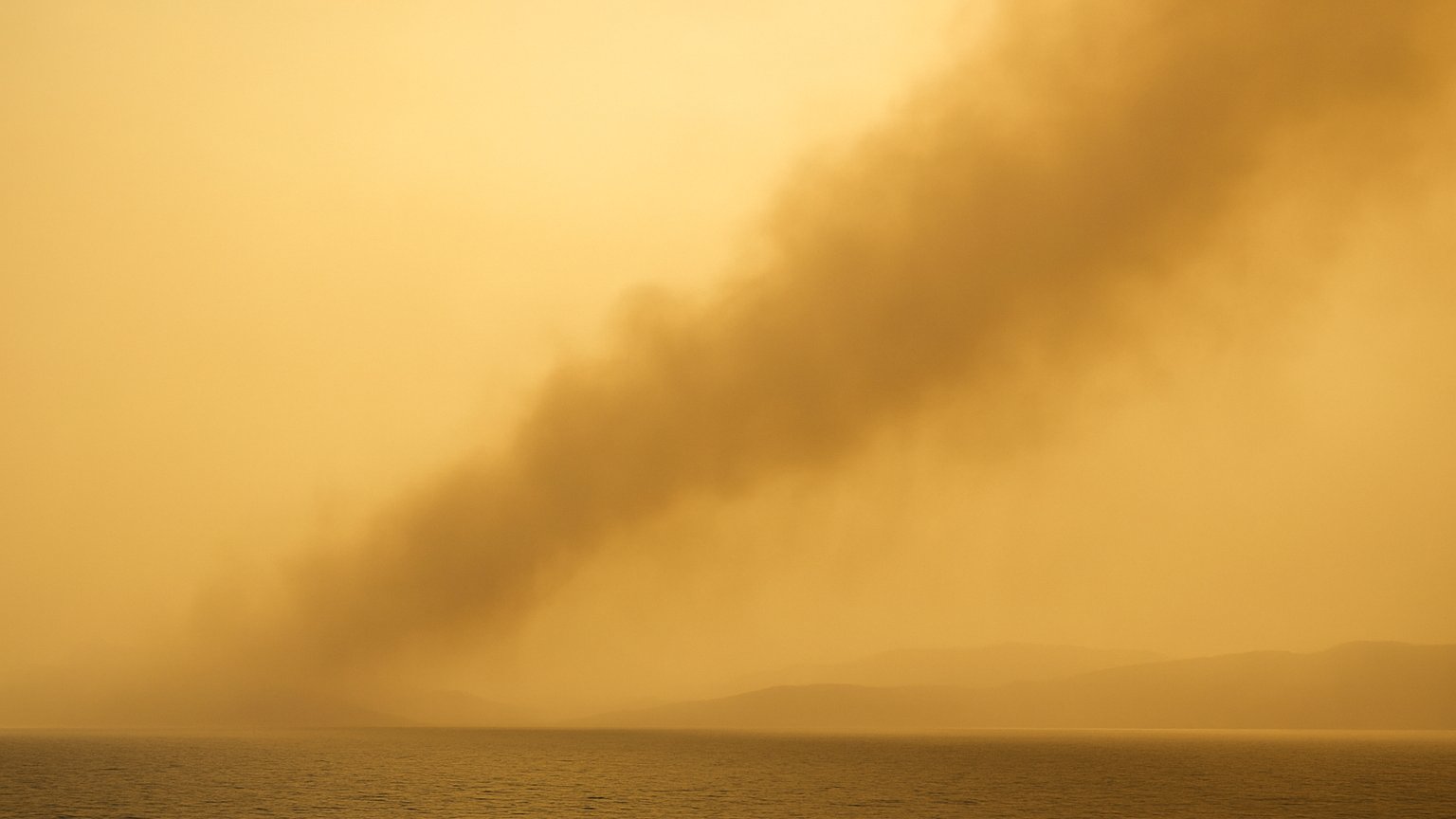
Southern Greece is experiencing a striking November contrast: temperatures are rising to levels more typical of late spring, while air arriving from the south is carrying African dust across the country. On November 12, forecast highs reach approximately 22–24°C in many areas, with isolated locations near 25°C. At the same time, the sky may take on a hazy, yellow-tinted appearance as dust concentrations increase.
A warm November day across Greece
The unusual warmth is affecting broad parts of Greece, with the highest temperatures expected across southern areas. Crete, the Aegean, and the southern mainland are among the regions especially relevant to this event. Forecast temperatures reach 22–24°C across much of the country, while isolated areas may approach 25°C.
These values create a noticeable contrast with the calendar. Although November is well into autumn, the combination of southerly airflow and warm conditions can make the day feel more like late spring. The warmth is not occurring in isolation: it is part of the same atmospheric pattern that is transporting dust toward Greece.
How southerly winds carry African dust
Southerly winds are strengthening over the Aegean and the surrounding seas. Winds from the south can transport fine mineral particles from North Africa toward the Mediterranean and onward into Greece. Once suspended in the atmosphere, these particles can spread over wide areas rather than remaining concentrated in one location.
Moderate concentrations of African dust are forecast across broad parts of Greece on November 12. The dust is expected to become more widespread and concentrated on November 13, meaning that the visual effects may become more noticeable as the plume expands.
Dust transport is a natural atmospheric process. Air currents lift and carry tiny particles over long distances, and the particles can remain suspended long enough to affect the appearance of the sky far from their source region. Their presence does not necessarily mean that every location will experience the same concentration or the same visibility conditions.
Why the sky may look yellow and hazy
The fine particles in airborne dust scatter and absorb sunlight. This can soften the contrast of distant objects and give the atmosphere a hazy appearance. Depending on the amount of dust and the angle of the sunlight, the sky may look pale, yellowish, or muted rather than clear blue.
Reduced visibility is one of the main practical effects expected from the event. The combination of dust and strong southerly flow can make the air appear thick or veiled, particularly across areas under the more concentrated parts of the plume. The yellow-tinted appearance is therefore not a separate phenomenon from the dust transport; it is a visible result of particles suspended in the air.
What to expect on November 12 and 13
On November 12, moderate African dust concentrations are forecast across broad parts of Greece, alongside temperatures of roughly 22–24°C and locally close to 25°C. Stronger southerly winds over the Aegean and nearby seas will help maintain the transport pattern.
The dust plume is expected to become more widespread and concentrated on November 13. This does not mean that every part of Greece will necessarily have identical conditions, but it indicates a potential increase in the area affected by hazy skies and reduced visibility.
The event is interesting because two noticeable atmospheric effects are arriving together: an unseasonably warm air mass and a visible plume of mineral dust. Mediterranean skies can therefore look dusty and atmospheric at the same time that temperatures resemble late spring.